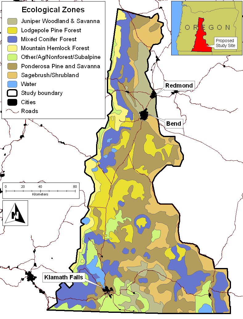
This data set is based on the Ecological Systems model that is produced partially with a random forest methodology and partially with the GNN species-size methodology. Major Ecological Systems classes were generalized into polygon features. All Oregon maps are based on 2000-2001 Landsat imagery. Data developed by the Landscape Ecology, Modeling, Mapping and Analysis (LEMMA) team at the Pacific Northwest Research Station, USDA Forest Service.
