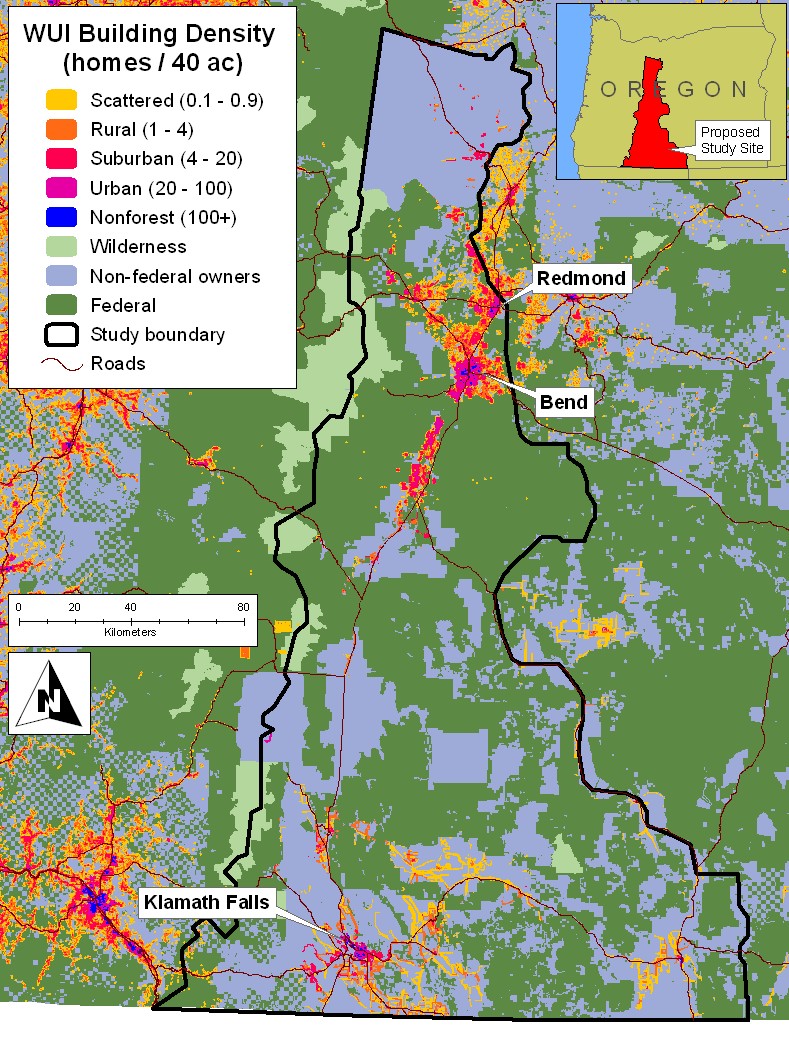
Population density for determining geographic areas that meet the population density requirements of the National Fire Plan. Population density was determined using tax lot data, where it existed and was available. Elsewhere, a process was used to assign the population of each census block to the geographic area most likely to have dwellings - on private land and near roads. The population density is based upon this area. Seasonal and resort communities (second homes) are largely overlooked by census data. Data set developed by Jim Wolf and Mike Schuft, Oregon Department of Forestry GIS staff.
